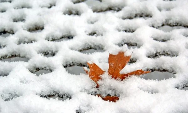
Weather: Heavy snowfall expected in mountainous areas
Periskopi (5 years ago)
Up until the weekend, it is expected to be wet weather, mainly with scars, rainfall and snow. The rising temperatures of early and declining weekends, Express reports. On Monday morning, rainfall ceases, with scars and sun sets. The most dynamic weather in the coming days, even sustains the most air pollutants [...]
On Monday morning, rainfall ceases, with scars and sun sets.
The most dynamic weather in the coming days also sustains more scattered air polluters, especially on Thursday and Saturday, when wind strengthening is also envisioned. These days the index will be in acceptable value. On Friday, the winds calm, polluters focus closer to the surface, and the evening-hour index spends on poor and very poor values.
9.12 After the cold morning, the scars increase. Local rain rigs. In the afternoon and in the evening, the most constant rainfall swept through the country. Snowfall is expected only in the mountains.
10.12. Mostly killing, morning with a chance for local raingrass.
11,12 In the morning, I froze, and in the land the possibility of fog. Mostly killed, since the morning, rain is expected, places and intensities. Rain rains are late in the evening, and they become snow.
12,12 B.C., mostly killed, and timed with low snowfall, in lower areas even mixed with snow.
13.12 Cold, with sun and murder. I froze in the morning.
At first rising temperatures, the weekends suffer decline. Minimals grow to 2C by Friday, and then land to -2C on Saturday, and Monday to -4C. The maximum temperatures rise to 8C on Fridays, and on weekends they drop to 1C.
Wind blew from the light southeast and average 5-10m/s by Saturday, with hoves over 15m/s, Thursday and Saturday. From Saturday night it changes direction to the northeast where the light and average 3-7m/s.
The atmospheric pressure remains low in the days to come, with a tendency to increase from Sunday./Gazza Express