Satellite images of army gathering in Russia and Ukraine
Periskopi (5 years ago)
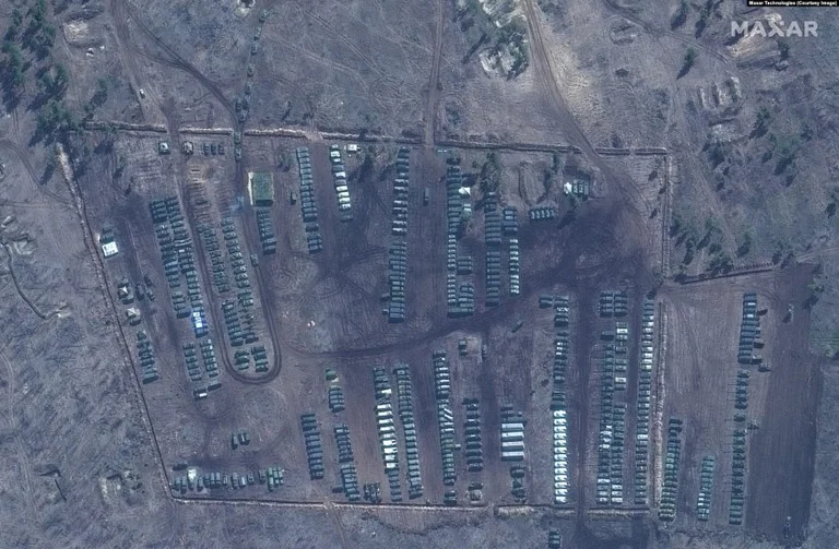
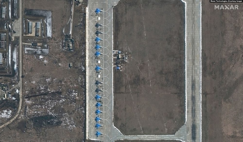
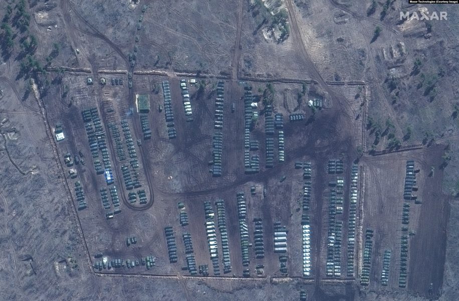
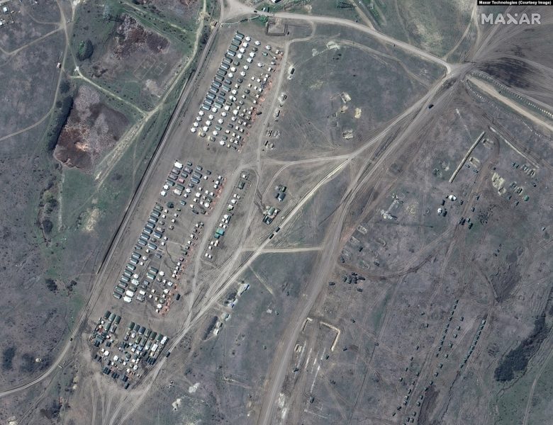
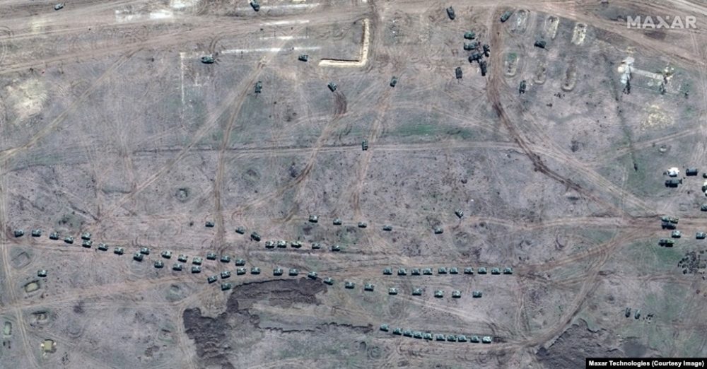
Photos published on April 20th show Russian military equipment gatherings on the Ukrainian Crimea Peninsula and along the border between Russia and Ukraine. Photos used in this text were taken between March 27th and April 16th by Maxar Technology, a satellite imaging company providing “90 percent of the main intelligence [...]
Photos published on April 20th show Russian military equipment gatherings on the Ukrainian Crimea Peninsula and along the border between Russia and Ukraine.
Photos used in this text are held between March 27th and April 16th by Maxar Technology, a satellite imaging company that provides “90 percent of the main geospace intelligence used by the United States Government”.
Maxar Technology head Dan Jablonsky told The Wall Street Journal that his company released these photos because it is “dedicated to transparency”.
Tensions between the United States and Russia have increased in recent weeks, as US President Joe Biden himself announced new sanctions against Moscow last week, due to election intervention and the massive cyberattack SolarWinds.
American officials say the number of Russian troops in Crime and near the Ukrainian border has doubled over the past month.
On April 20th, the Ukrainian Army published photos of its tanks exercise at a location in Ukraine's <x0-born”, but did not exactly show where these exercises are taking place.
On April 19th, Ukraine's Foreign Minister, Dmytro Kubela, called on the European Union to encourage Moscow to scale a new sanctions against Russia.