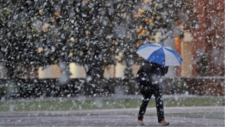
Snow and rain next week
Periskopi (5 years ago)
Pristina Weather has announced the weather, expected to hold in place over the weekend and the first days of next week. According to PWU, the weekend will be milder weather and local rainfall will be expected. Meanwhile, the next week will be colder with rain and snow. 12,03,2021 [...]
The 12,03,2021 Cyclones that will pass from the region on weekends will condition changing weather strikes on weekends, while warm air measures stretching from the Mediterranean increase temperatures slightly above average values, enabling us to have milder weather.
By Monday, extending the coldest air masses from the north of the region over our country brings down temperatures, and the rainfall will mix or even turn into snowfall, while only snowfall is expected in hill country. Even on Tuesday and Wednesday, our country remains dominated by low pressure fields and cold air masses, which will allow for unstable weather, with variable scars, and sometimes rainfall, but snow.
According to recent forecasts, Cyclonic penetrations from the Mediterranean to the south of the region will also enable weather with scars and falls in the latter part of next week, and possibly snowfall, which can also produce snow.
Winds that are expected to blow on the coming days will keep the air pollutors more scattered, which shoot to improve air quality, where the index remains longer in medium and acceptable value. Only in cases of quiet periods do air quality deteriorate in poor value at night.
13,03 A milder weather, mostly with scars. To the west of the country with low rainfall, and in the afternoon local rainfall can be cut in other parts of the country. In the evening of reflection.
14,03 Sweet weather. First clear, along the lowlands the possibility of fog/medicalness. On the day of the development of local scars, likely accompanied by a weak downpour of rain and possibly even a thunder.
1503 Cold. Mostly the killed and rain-falled, which morning and evening hours from the Kosovo plain will mix or even turn into snow. In hillyoro-mountain snowfall.
16.03 Cold, mostly with scars and wind, and afternoon with potential for local rain rigs.
17.03 Cold, with scars and solar intervals. And the potential for local rainfall and snow.
The temperatures of the growing weekend days and of Monday on the decline. The minimum weekends are up to 2C and then down to -2C. As the weekend peaks rise to 15C, and on Monday they drop to 5C, and on Wednesday to 4C.
It will blow the average and average powerful wind from the southwest 5-14m/s over the weekend, over the next week from the northern 4-15m/s. Atmospheric pressure with a tendency to fall under normal values.