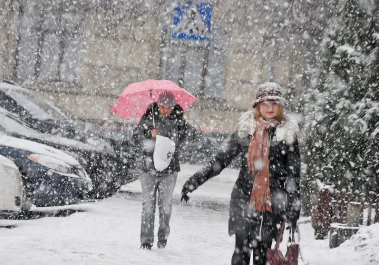
By tomorrow rain and snow, these are temperatures for the next few days.
Periskopi (6 years ago)
On Tuesday our country remains under the influence of high pressure fields, which will continue to condition stable, warm weather and longer solar intervals. But from Central Europe, a mighty Atlantic Cyclone is approaching our region, where during Wednesday's evening and day [...]
On Tuesday our country remains under the influence of high pressure fields, which will continue to condition stable, warm weather and longer solar intervals.
But from central Europe, a mighty Atlantic Cyclone is approaching our region, where during Wednesday's evening and Thursday I will pass over our country as well.
This cycle during Wednesday and Thursday will bring heavy clouds and winds from the southwest, and on Thursday, rain is also expected to mix with snowfall. Snowfall is expected in hillyoro-malal areas.
Air quality values will swing around the average values, but the winds expected to blow will flow to good ones as well.
In the meantime, it will be warm Wednesday but with clouds of high layers and longer sundials and even windy afternoons.
It will blow the average and powerful wind from the south wing 5-17m/s, and seats in Dukagjin by hove up to 20m/s. UV Index: 3.
Thursday will be warm, mostly sunny mornings. Windy day, until the clouds are added. In the evening, local rainfall is expected from the country's west. It will blow strong wind from southwest 10-20m/s, places with places up to 25m/s (90km/h). UV Index: 3. /PristinaWeather