This will be weather for first December days in Kosovo
Periskopi (6 years ago)
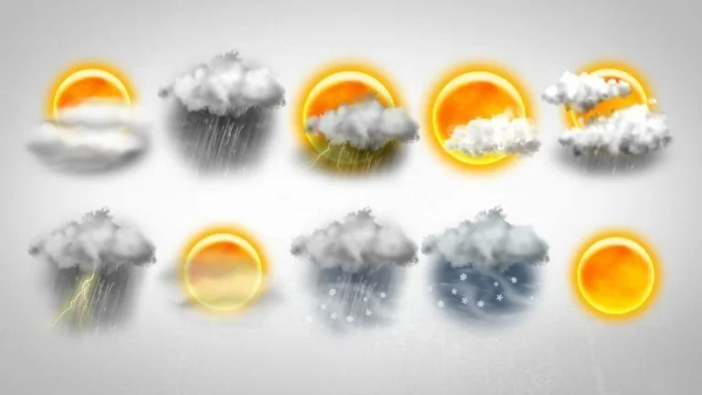
The first week of December is set to be more dynamic, predicts “Prishtina Weather”. On December 1, when the winter weather begins, we'll have winter temperatures, with the maximum temperature going down right near zeroC. By midweek another Cyprus from the North Atlantic will penetrate Italy, and [...]
On December 1, when the winter weather begins, we'll have winter temperatures, with the maximum temperature going down right near zeroC.
By the middle of the week, another cycle from the northern Atlantic will penetrate Italy, and then from the north of the region, which is envisioned to bring about conditions for rainfall on Thursday and Friday. Meanwhile, the warmer air currents from the Mediterranean bring a little above average air temperature. Only in high mountain areas are conditions for snowfall for the earth.
From Tuesday on and then on, I'm going to go back to poor, very weak, mostly evening hours, but that from Wednesday day on I can even go down to medium and enough.
Date:
1.12 Cold and frosting this morning. Mostly sunny.
2.12 Runs and intervals with the sun. In the morning, cold and frosty.
3.12. Mostly killed. Places with low rainfall.
4.12 Early in the morning you killed and rained. In the day the scars will spread, there will be sun intervals.
Minimum temperatures drop to -6C at the beginning of the week, then gradual growth to +3C. Even maximum temperatures suffer decline, on Tuesday to +1C, until an increase Friday in 9C.
I'm gonna blow an average powerful wind from the northeast 6-12m/s, and in the second half of the week from the southeast 6-14m/s.
Atmospheric pressure on normal values until the weekend with a tendency to decline.