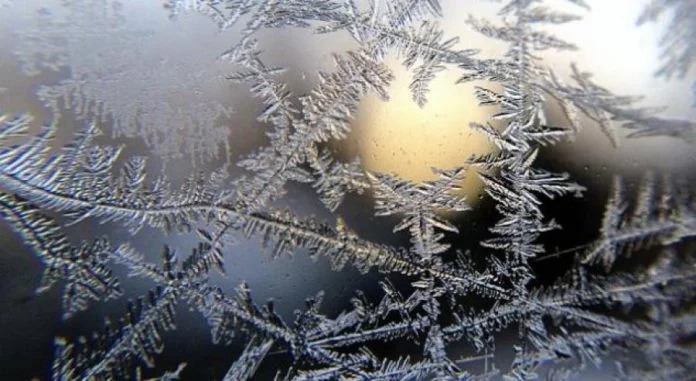
Weather for this weekend
Periskopi (6 years ago)
On weekends and early next week's softer weather. Poor rainfall is cut from Sunday. Only in the snowy mountains will the fields of high pressure dominate during these first weeks of January, from the weekend, low - pressure areas from the Atlantic will begin to extend [...]
Following the dominance of high-pressure areas during these first weeks of January, by the weekend, low-pressure areas from the Atlantic will also begin to extend from our region, Pristina Weather suggests.
The meteorology service reports that poor rainfall is expected from Sunday afternoon and Monday from time to time, on Tuesday and Wednesday, countries with opportunities for local brigades. Only in mountainous regions over 1500m will there be snowfalls, the PW points out.
According to Pristina Weather, in terms of our country, warm air currents will gradually increase temperatures on normal values in both extremes.
The PW warns that air quality values will fluctuate around average and unhealthy values.
Forecast on January 25-29th:
25.01h Runs and breakers. In the morning it froze, in low places- places the possibilities for fog/mule. In the afternoon and in the evening in the west of the country, the possibility for local rain rigs.
2601 mostly with clouds and softer. Low ground in the morning, access to fog. In the afternoon and in the evening countries cut low rainfall.
Twenty-seven, seven, seven, and a half. Time and time again with low rainfall.
28.01-29.01 on Tuesday mostly clouds, afternoon opportunities for local rain rigs. On Wednesday, clouds and solar intervals. In the morning, opportunities for local rain rigs.
Air temperatures will mark gradual growth on average values. Minimals will swing from -4C to +3C, while maximums from 7C to 10C.
It will blow light and medium wind mainly from the south wing 1-5m/s.
Atmospheric pressure will gradually be reduced to normal value.