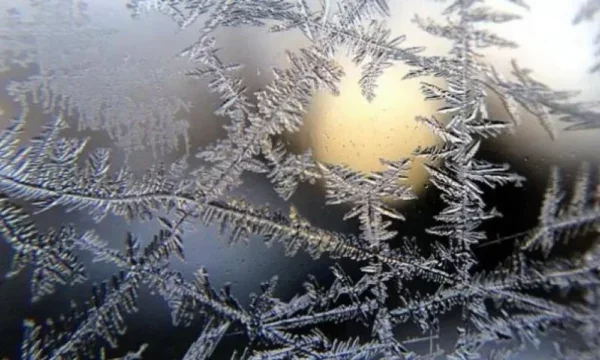
Meteo Kosova: Winter returns, on Thursday comes shock of polar measures, temperatures below zero
Periskopi (2 months ago)
This week has begun under the influence of warm air measures and as such will continue on Tuesday, but with a slight destabilisation of the atmosphere, where an isolated downpour is presented in local areas during afternoon hours. By Wednesday day they will gradually extend the cold air masses, bringing [...]
This week has begun under the influence of warm air measures and as such will continue on Tuesday, but with a slight destabilisation of the atmosphere, where an isolated downpour is presented in local areas during afternoon hours.
By Wednesday they will gradually extend the cold air masses, bringing increased clouds and local rainfall during afternoon hours, especially evening hours, when the temperature cuts are expected.
On Thursday they will remain completely under the influence of cold air masses of polar origin, as a result, the weather will mostly be killed and occasionally by rainfall. In the mountains of snowfall.
On Friday, sunny weather and clouds are forecast, while local rain may have some isolated rainfall and snowy mountainous areas. In the morning hours, depending on the presence of clarity, temperatures can drop to negative values.
It is noteworthy that, on Thursday and Friday, there is no exception to the possibility of snow fjolls being presented even in the lowest areas, especially in the Llap area.
Suns and clouds are forecast Saturday, while scarce local rainfall is expected. Negative values are also expected in the morning hours.
Sunday will also follow with sunshine and clouds, possibly for some isolated rainfall. As temperatures begin to mark peaks.
The wind will blow mainly from the direction of the northeast, which is sometimes expected to be quite powerful, with speeds of 15-52 km/h.
Minimum temperatures will move from -2 to 9 °C, while maximum temperatures of 6 to 26 °C. /meteokosovo