5 minutes ago
Trump shares a US map made of artificial intelligence, including Greenland, Canada and Venezuela
Periskopi(6 months ago)
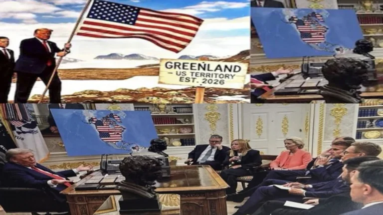
(6 months ago)American President Donald Trump has shared an image, apparently modified by artificial intelligence, showing him sitting next to a US map that includes Greenland, Canada and Venezuela, while talking to European leaders. The photograph, which Trump posted on Social Truth, appears to be a modified version of [...]
The photograph, which Trump posted on Social Truth, appears to be a modified version of a photograph taken when French leader Emmanuel Macron, British Prime Minister Keir Starmer and European Commission President Ursula von der Lejen went to Washington, D. C, August 2025.
Since returning to office in January 2025, Trump has been commenting on Canada's annexation as the 51st state. Earlier this month, it posted an image in social media that described it as “Venezuela's acting president”, following the capture of the U.S. leader Nicolaas Maduro's leader, broadcasting Telegrafi.
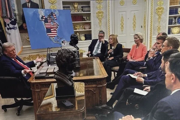
Trump's last post comes amid his long claim that the United States must win Greenland, a Danish self-government territory, for national security reasons.
The president has refused to rule out using the military force to gain control of the Arctic island, and has threatened tariffs for European allies who resist such an invasion.
While European leaders have pledged solidarity with Denmark and Greenland, the post in social media highlights the expansion of diplomatic divisions between Washington and the continent. /Periscope