Will there be snow again? This is the weather forecast for the next few days.
Periskopi (2 years ago)
The passage of the Cyclone “Caetano” on Friday over the Balkans brings numerous reruns to the country. From the early hours of the day, rainfall will be the most intense, first rain, with temperatures marking up to 10C and 13C, down from -1C and +2C. Later in the afternoon, over [...]
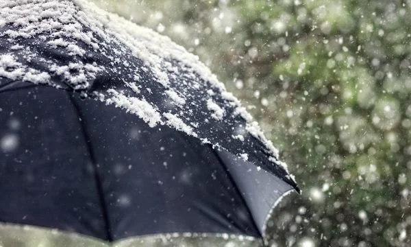
The passage of the Cyclone “Caetano” on Friday over the Balkans brings numerous reruns to the country. From the early hours of the day, rainfall will be the most intense, first rain, with temperatures marking up to 10C and 13C, down from -1C and +2C.
In the afternoon, cold arctic measures quickly penetrate the country, dropping temperatures again to 0C, as rainfall turns into snow. Sometimes snow rains can be accompanied by thunder. At first, a powerful southern wind of 5-15, with hove over 20m/a in parts of Dukagjin, and later changes direction to the northeast.
Snowfalls are expected to rest early hours of the morning on Monday. By midday, the scars also begin to spread, and wakes continue on Sunday and Monday. Between Tuesday and Tuesday, scars pass through the country, but no conditions appear to come down. Minimum temperatures drop to -6C e -8C on Sunday, as the maximum temperatures remain low at the weekend, 2C to 5C, and then gradually mark growth in 6C and 8C. /T7